Using Wall Maps for Educational Purposes: Enhancing Learning Experiences
Wall maps serve as excellent educational tools that help visualize spatial information effectively. Displaying a map of the US in a classroom can stimulate students’ curiosity and encourage exploration and learning. Specifically, these maps can provide a sense of place and scale that is often missed when using digital maps alone. Physical maps help break down and simplify complex geographical data, making it easier for students to understand and retain.
Furthermore, maps help improve spatial thinking skills, an essential competency in today’s interconnected world. They provide context and enhance understanding, starting with a child’s early geography lessons and continuing through more advanced studies in various subjects. For instance, when students see the vast stretches of oceans separating continents, they better understand global logistics and climates.
Importance in Education
Maps are crucial in the educational realm for many reasons. They help students visualize and understand the relationships between different geographical areas. Maps are pivotal in teaching geography, history, and even science. They enable students to see the world from a broader perspective and identify how different regions influence each other.
For example, when learning about historical events, maps help trace pathways of explorers or movements of armies. In science, maps can demonstrate how ecosystems change over time and highlight critical environmental issues like deforestation and climate change. By understanding these visual aids, students can grasp the cause-and-effect relationships and predict future trends.
Subjects and Applications
The versatility of wall maps makes them applicable across various subjects. In geography, maps illustrate physical landscapes such as mountains, rivers, and deserts. Political maps show the borders between countries and states, fostering a better understanding of political geography. In history, maps can plot significant battle sites or trade routes, bringing historical events to life.
Moreover, in science education, maps can explain natural phenomena like tectonic plate movements, climate patterns, and wildlife habitats. By presenting information visually, maps can make learning more intuitive and engaging. Teachers can leverage maps to show how natural disasters like earthquakes and hurricanes are distributed globally and discuss their impact on affected regions.
Digital vs. Physical Maps
Though digital maps are interactive and offer real-time updates, physical maps provide a unique, tactile learning experience. A study found that hands-on learning significantly enhances memory retention, making physical maps valuable in classrooms.
Physical maps are always accessible and don’t rely on technology, making them reliable educational resources. They also encourage students to develop map-reading skills without the assistance of digital tools, fostering independence and critical thinking. While digital maps can zoom in and out effortlessly, physical maps require students to interact manually, helping them better understand distances and scales.
Interactive Activities
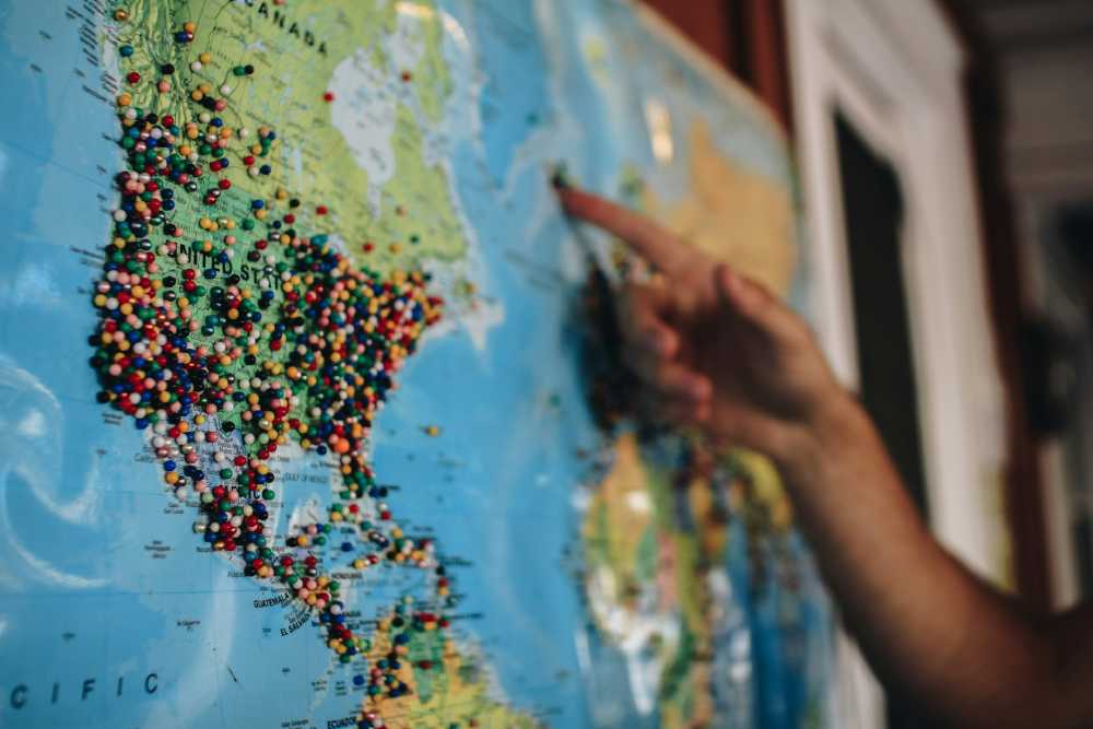
Integrating interactive activities with wall maps can make learning more dynamic. Activities such as treasure hunts, where students use maps to find clues around the classroom, can be fun and educational. Pin mapping, where students pin their studied locations, can personalize the learning experience.
Group projects that create or annotate maps can foster teamwork and cooperation. These activities teach map skills and encourage critical thinking and problem-solving. For example, students can create a layered map, where each group is responsible for a different layer, such as political boundaries, topography, and climate zones.
This kind of collaborative effort helps students understand how multiple geographical factors interplay. Incorporating digital tools like interactive whiteboards or tablets can further enhance these activities, allowing students to manipulate and explore maps in real time.
Virtual field trips, where students use digital maps to explore distant locations, can expand their geographical knowledge beyond the classroom. Additionally, integrating storytelling with map activities, such as having students narrate a journey on a map, can make the learning process more engaging and memorable.
Examples from Real Classrooms
Teachers have successfully employed maps to enrich their lessons. For instance, a school used historical maps to trace the United States’ westward expansion, helping students visualize the shifting boundaries. Similarly, a science teacher in California used maps to compare different ecosystems, sparking discussions on biodiversity and conservation.
These practical examples highlight how maps can make information more relatable and memorable for students, proving their effectiveness in real-world educational settings. By integrating maps into various lesson plans, educators can provide students with tangible references that aid in long-term retention of the material. Additionally, real-life applications illustrate maps’ versatility and enduring relevance in education.
Tips for Teachers
Here are a few tips for educators to maximize the use of wall maps in their classrooms:
- Incorporate maps into daily lessons to continually reinforce spatial understanding.
- Design interactive map-related activities that engage students in hands-on learning.
- Use maps to connect current events to geographical locations, providing real-world context.
- Maintain a variety of maps, including political, physical, and thematic, to cover different aspects of learning.
Conclusion
Wall maps remain invaluable educational resources. Teachers can stimulate interest and engagement by integrating them creatively into lessons, making abstract concepts accessible and exciting for students.
As educational tools, they bridge the gap between theoretical knowledge and real-world applications, fostering a comprehensive learning experience. Using maps can lead to a deeper understanding of our world, offering students a global perspective and a sense of curiosity extending beyond the classroom walls.
Moreover, wall maps encourage spatial thinking and help students visualize geographical relationships that are crucial for understanding complex global issues. They also serve as a versatile tool for cross-curricular learning, connecting subjects like history, science, and social studies.
In an increasingly digital age, the tactile experience of exploring a physical map can enhance memory retention and provide a refreshing break from screen-based learning.